
Living in Sarasota: Housing Types, Build Dates, and Daily Logistics
A practical guide to Sarasota's housing stock, from mid-century concrete block homes to newer developments east of I-75, along with everyday commute distances and public water access points.
By Akeme Foster · September 13, 2026 · 4 min read
Sarasota's residential map is shaped by its coastline, its older mainland core, and steady expansion eastward toward Interstate 75. If you're looking at property listings here for the first time, the variety of home styles and building ages can feel disjointed until you understand how the area developed.
Housing Eras and Common Property Types
Homes in Sarasota generally fall into distinct construction eras depending on how close they sit to the bay.
Closest to the downtown core and the immediate coastline, you'll find single-family homes built between the early 1950s and the late 1970s. Most of these are single-story Florida ranches. The majority use concrete block construction, often abbreviated as CBS, which stands for concrete block structure. In plain terms, the exterior walls are built with stacked masonry blocks filled with rebar and poured concrete rather than wood framing. These homes usually have lower ceilings, smaller footprints, and crawl spaces or shallow slab foundations. Many feature carports instead of enclosed two-car garages unless a previous owner converted the space.
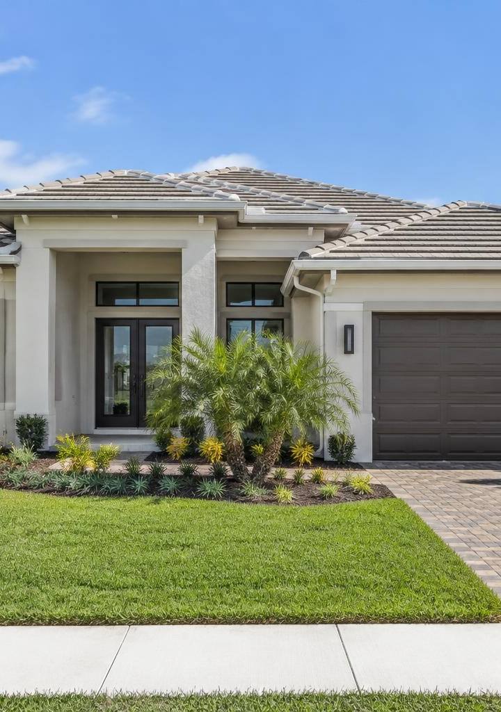
Move further inland between Tamiami Trail and I-75, and the construction timeline shifts primarily to the 1980s and 1990s. Here, you see the rise of planned subdivisions. These properties commonly feature two-car attached garages, vaulted ceilings, and screened lanais that often enclose in-ground swimming pools. You'll encounter both concrete block on the ground level and wood-frame construction, particularly on any two-story designs from this era.
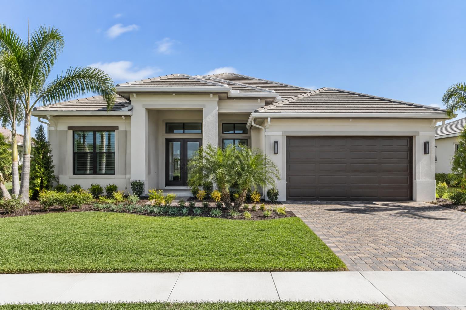
East of I-75 represents the bulk of construction from 2000 onward. These properties are typically located within large residential developments governed by homeowners associations. Many of these newer subdivisions also fall within a Community Development District, commonly referred to as a CDD. A CDD isn't an association rulebook; it's a local, special-purpose government framework that issues municipal bonds to finance community infrastructure like roads, water lines, and community centers. If a home sits within a CDD, you pay an additional assessment on your annual property tax bill to cover that bond debt and operational upkeep until the debt is paid off.
Commutes and Primary Road Corridors
Getting around Sarasota depends heavily on two north-south corridors and three primary east-west roads.
On the west side, US-41, also called Tamiami Trail, connects Sarasota to Bradenton to the north and Venice to the south. It's a surface highway with frequent traffic signals and commercial curb cuts, which means local traffic moves at a deliberate pace. On the east side, I-75 acts as the high-speed regional link. If you commute to major employment centers outside the immediate city, your proximity to an I-75 interchange directly influences your daily driving time.
Downtown Bradenton sits roughly 12 to 15 miles north of central Sarasota, typically taking 25 to 40 minutes by car during standard commute windows. Downtown St. Petersburg is about 35 to 45 miles north, requiring a drive across the Sunshine Skyway Bridge. Downtown Tampa sits approximately 55 to 65 miles north via I-75, which translates to roughly an hour to an hour and twenty minutes depending on the time of day.
Travel between the coast and the highway relies on three major east-west arteries: Fruitville Road, Bee Ridge Road, and Clark Road. These multi-lane roads carry the bulk of traffic between the interstate and the coastal mainland. During morning and evening peak driving periods, east-west movement along these roads accounts for a substantial portion of any local trip.
Coastal Access and Water Recreation
Living near the water doesn't automatically mean living on it. Most residential neighborhoods sit on the mainland, separated from the Gulf of Mexico by Sarasota Bay and a chain of barrier islands known locally as keys.
Public beach access on the barrier islands connects to the mainland via fixed bridges and drawbridges. Crossing these bridges adds driving time, particularly when drawbridges open for marine traffic or during weekend peak beach hours. Public access points on the islands provide shoreline entry, while mainland waterfront parks provide walking trails, fishing piers, and open views across the bay without crossing the bridges.
Boating and paddle sports access is distributed throughout the county. Several municipal and county boat ramps offer paved launch lanes, vehicle-plus-trailer parking, and direct access to the Intracoastal Waterway. Kayak and paddleboard launches exist along bayfront preserves and mangrove estuaries, giving residents a straightforward way to put non-motorized watercraft into sheltered waters.
Understanding where a home sits in relation to these roads, water access points, and construction eras gives you a clear baseline before you evaluate individual properties.
- sarasota
- first-time buyers
- florida real estate
- property types